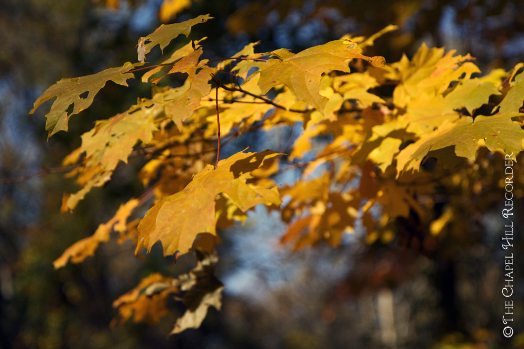
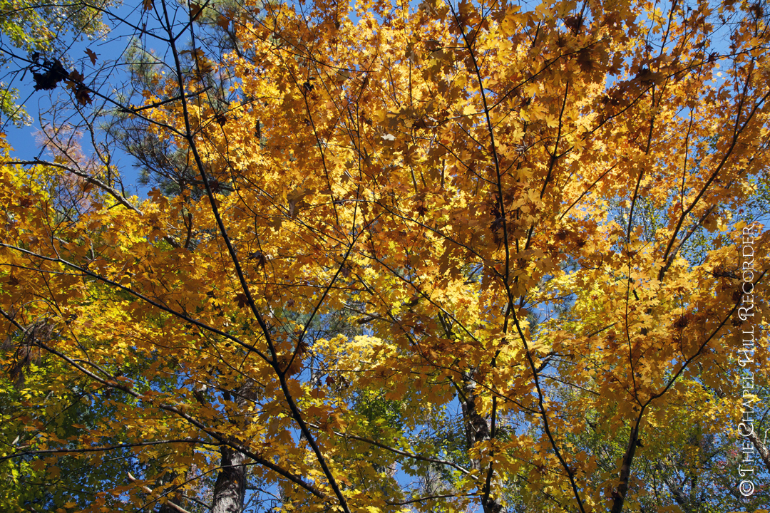
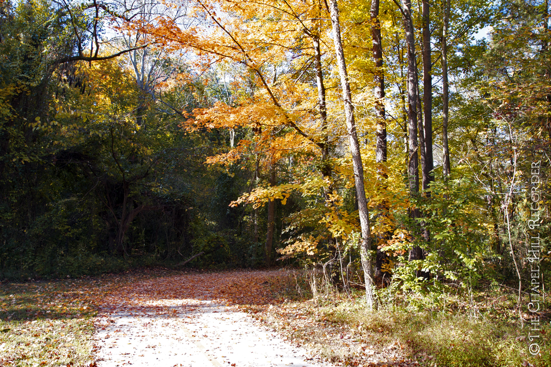
Autumn Leaves
 There is nothing more beautiful than autumn in Chapel Hill. Here are the best places around town to see those brilliantly colored leaves.
The weather in Chapel Hill this autumn has been nothing less than spectacular. These crisp, sunny, 70-degree days beg for nature walks through our plentiful wooded lands. The fall color will be peaking here next week, painting our green town in a warm palette of golds, oranges and crimsons. Although this explosion of dazzling hues can be found on every street corner, it is best experienced off-road on foot. Fortunately, there is no need to drive to the Blue Ridge Parkway. The Chapel Hill area has numerous accessible paved and unpaved free nature trails for outdoor lovers of all ages. Here is a list of my favorite local greenways, parks and preserves that will take your breath away with their spectacular foliage. Enjoy it while it lasts!
- ADAMS TRACT
1.25 miles of unpaved trails, consisting of a .7 mile loop trail and a number of access trails, on a 27 acre woodland preserve, bounded on the north by Bolin Creek and on the east by Estes Drive Extension. Parking is off-road, and currently this trail is under construction as a new paved greenway is being built. - BATTLE BRANCH TRAIL
A 1.5 mile unpaved trail with some rocky slopes that connects UNC’s Battle Park with the Community Center Park across from University Mall. - BOLIN CREEK TRAIL
1.5 mile 10′-wide paved trail through meadows and woods. Parking entrances at the Community Center Park and Bolinwood Drive. - COKER ARBORETUM
A series of sandy and paved paths wind around this beautifully landscaped garden. Located on UNC campus, at the corner of Country Club Road and Raleigh Street at the address 399 East Cameron Avenue, Chapel Hill. The closest parking is the paid lot at Morehead Planetarium. For more information, read The Chapel Hill Recorder article: Coker Arboretum. - DRY CREEK TRAIL
1.2 mile unpaved trail, starting at Cedar Falls Park off of Weaver Dairy Road, which has ample parking. This trail has some rocky, steep slopes. - DUKE FOREST
7,000 acres of wooded land, with many miles of unpaved trails. The nearest entrance is off of Whitfield Road, between Erwin Road and Sunrise Road. Park off the street in front of the trail entrance. Please Note: Duke Forest will be closed to the public Monday-Friday from September 24, 2012 until December 14, 2012 for the deer reduction program, but will be open on the weekends. - ENO RIVER STATE PARK
More than 4,000 acres of natural beauty along 14 miles of winding riverbanks. Parking can be found at Cabelands (on Howe St off Sparger Rd), Fews Ford (Cole Mill Rd) and Pleasant Green (on Pleasant Green Rd).
- FAN BRANCH TRAIL
1.6 mile 10′-wide paved trail, with a few steep slopes. Connects Southern Community Park with Southern Village, where parking is available at either end. - HANK ANDERSON III COMMUNITY PARK
.4 mile crushed gravel loop of woods, a pond and feeder creeks. Accessible from the ample parking area. Located on Highway 54, west of Carrboro, past Carrboro Plaza on the right. - JOHNSTON MILL NATURE PRESERVE
3 miles of wooded, unpaved trails. Located 1.1 miles east of NC Highway 86 on Mount Sinai Road, with a parking area on the right just before New Hope Creek. - LOWER BOOKER CREEK TRAIL
.8 miles, 10′-wide paved trail. Connects Booker Creek Road with Eastgate Shopping Center and Linear Park. Limited parking available at Markham Drive. - MEADOWMONT GREENWAY
10′-wide paved paths on both sides of Highway 54, and begins at Rashkis school. Natural surface trails are located in Meadowmont Park in the north side of the development. - MORGAN CREEK TRAIL
.85 miles, 10′-wide paved trail that leads along the creek, through the woods to Merritt’s Pasture. Parking is available at the entrance, right off of Fordham Blvd./54 East, just past Kingswood Apartments. - NORTH CAROLINA BOTANICAL GARDEN
Nearly 800 acres of preserved land with nature trails, carnivorous plant, aquatics and herb gardens. Parking is located at the entrance at 100 Old Mason Farm Rd (off US Highway 15-501). - OCCONEECHEE MOUNTAIN STATE NATURAL AREA
3 miles of unpaved trails. Overlooking the Eno River, the mountain has an elevation of 867 ft., which is the highest point in Orange County. Parking at the entrance at Virginia Cates Rd (off Orange Grove Rd) in Hillsborough, NC. - TANYARD BRANCH TRAIL
.4 mile unpaved trail, with a few steep slopes. Parking is available at Umstead Park off of Umstead Drive, and connects with Northside neighborhood.
Category: Places


